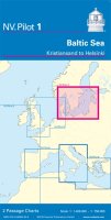
NV Pilot 1- Planning Chart Baltic Sea - Kristiansand to Helsinki Code: ANVPIL1 £20.50 ex VAT QuantityQtyAdd to Cart
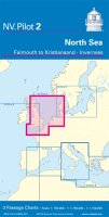
NV Pilot 2 - Planning Chart North Sea - Falmouth to Kristiansand, Inverness Code: ANVPIL2 £20.50 ex VAT QuantityQtyAdd to Cart
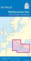
NV Pilot 3 - Planning Chart Mediterranean East - Sicily to Greece, Adriatic Sea Code: ANVPIL3 £20.50 ex VAT QuantityQtyAdd to Cart
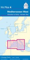
NV Pilot 4 - Planning Chart Mediterranean West - Gibraltar to Sicily, Adriatic Sea Code: ANVPIL4 £21.00 ex VAT QuantityQtyAdd to Cart
NV Pilot 5 - Planning Chart North Atlantic Ocean - Gibraltar to Caribbean, Atlantic Islands Code: ANVPIL5 £21.00 ex VAT QuantityQtyAdd to Cart
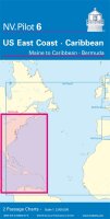
NV Pilot 6 - Planning Chart US East Coast - Maine to Caribbean, Bermuda Code: ANVPIL6 £21.00 ex VAT QuantityQtyAdd to Cart


 EUR (€)
 USD ($)

 Dutch
Dutch  French
  German
  Spanish