

 EUR (€)
 USD ($)

 Dutch
Dutch  French
  German
  Spanish


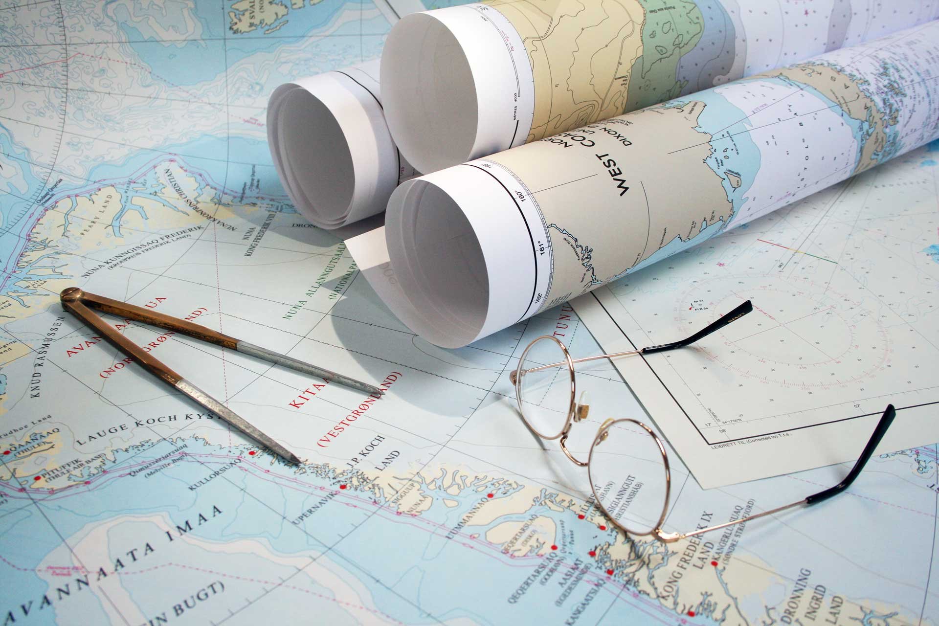
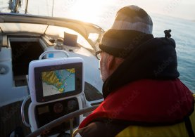
ADMIRALTY
Small Craft Charts
Quality charts assured by maritime experts at the UK Hydrographic Office (UKHO), contain appropriate coverage and scales to help leisure yachtsmen, motor boat cruisers, ocean racing skippers and other leisure mariners maintain safety of life at sea.

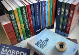
IMDG Code
Lays out the regulatory framework for all aspects of handling dangerous goods and marine pollutants in sea transport. The IMDG Code is divided into two volumes.

Information
on board
SeaReader is our brilliant new means of viewing commercial shipping
e-books on board ship, in ship management offices, and in the offices
of naval architects, marine consultants, and nautical surveyors.

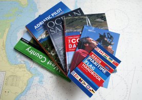
Yachting & Boating
We provide the best tools for the yachtsman and boater as well as commercial shipping such as a complete range of digital and printed charts, publications, and software to assist them with navigation.

Luxury & Super Yacht Services
If your yacht or motor yacht is 24 metres or more in length for commercial use, we have a dedicated service to ensure you have the correct, up-to-date charts and publications onboard to comply with your Flag State Regulations and the SOLAS Convention.

Commercial Shipping
We work with ship managers and vessel Masters, to ensure vessels under our chart management receive the charts, digital or paper, and nautical publications necessary to protect the integrity of your voyage.

Free & Fast
delivery
or Ireland if you place an online order with us at a value of £75 or more.
We also ship to the EU and Worldwide. With being based in Northern Ireland
we continue to have unfettered access to the GB market, as well as the EU’s
single market for goods without the need for customs checks, tariffs or
additional/new paperwork resulting in fast timely deliveries to most locations.

ADMIRALTY
Small Craft Charts

IMDG Code

Information
on board

Yachting &
Boating

Luxury &
Super Yacht Services

Commercial
Shipping

Free & Fast
Delivery


Digital Services
2.jpg)
2.jpg)
2.jpg)
2.jpg)
2.png)

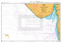
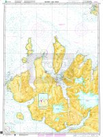
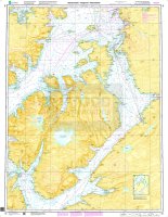
New Edition - Paper Charts


New Edition - Books


Our Brands


Latest News
Featuring the latest articles, new products, updates and events around the world of navigation.

Welcome to our new online shop
Welcome to the new online shop for Todd Navigation, visit as a guest or create an account with us to purchase all your nautical wants and needs.

IMO New Editions
The IMO have released a number of new editions throughout 2023, including the MARPOL Annex VI and NTC 2008, IMSBC Code and Life-Saving Appliance Code.

Todd Navigation and Brexit
Northern Ireland businesses, such as ourselves, have unfettered access to the UK market, as well as a guaranteed ability to trade freely in the EU market.

UKHO to extend timetable for paper chart withdrawal
The UKHO have pushed back the withdrawal of Standard Nautical Charts and Thematic Charts to at least 2030 citing various reasons following considerable feedback.
What we do?
| Todd Navigation is an International ADMIRALTY
Chart Distributor, appointed by the United Kingdom Hydrographic Office
(UKHO) and premier Imray chart agent. All our ADMIRALTY standard navigation charts and ADMIRALTY small craft charts are corrected to the
latest Notices to Mariners via the Print-on-Demand (POD) service. We only stock
the latest editions of Imray and NV charts, and we only stock the latest
editions of ADMIRALTY and Imray publications. Established in 1988, Todd Chart Agency Limited, trading as Todd Navigation, is a family owned company which has grown to become the largest retailer of nautical charts and books in Ireland, and the largest independent ADMIRALTY chart agent in the United Kingdom. Read more |
Certifications


Sign up for our newsletter
We only use your email address to add you to our mailing list for receiving our newsletters(monthly). This information is only kept in our mailing list and not for any other purposes than for contacting you with our newsletters.


